Severe Threat Has Ended in the South

Outlooks & Timing
Friday night and Saturday morning was active tracking severe weather and flash flooding. We do have some good news as the severe weather threat has ended! The National Weather Service crews will be out surveying a few areas where tornadoes did touchdown across the South. Check out some of the damage Saturday morning as strong winds moved through Central Alabama.
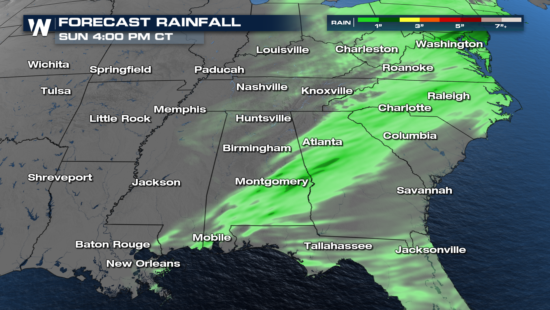
Throughout the rest of the afternoon and evening hours, the showers and few embedded storms will continue to work their way east towards the Atlantic coast. The forecast will be drier and windier for Sunday across the South. It is possible the remaining storms could produced an additional half an inch to an inch of rain. The Flood Watch across Alabama and Georgia will expire later this afternoon.
Catch updates during our top weather headlines (:00, :20, :40 past the hour) or get the latest regional update for the East and Central U.S. at :10 and :30 past the hour.


